|
VizSWAT for SWAT 2000 and SWAT 2005 |
|
|
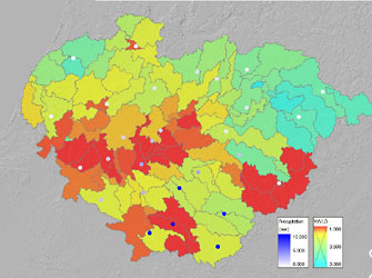
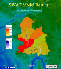
VizSWAT is a visualization and analysis tool developed by Baird in cooperation with Texas A&M University for SWAT model output. It analyzes results from SWAT 2000 and SWAT 2005 versions as well as AVSWAT and ArcSWAT (ArcGIS-SWAT). The software is a GIS-based data visualization and analysis tool that animates time series and spatial data over GIS maps with impressive display speed. In addition to model results, it is capable of loading many commonly used GIS layers and ASCII data in various formats. Spatial and temporal data can be graphically interpreted over GIS layers and graphically explored and edited in four-dimensional space (3D space plus time) with fully functional GIS navigation tools. This allows users to import, analyze and visualize SWAT model results within the visual framework. VizSWAT was developed around core components of SDA |
|